
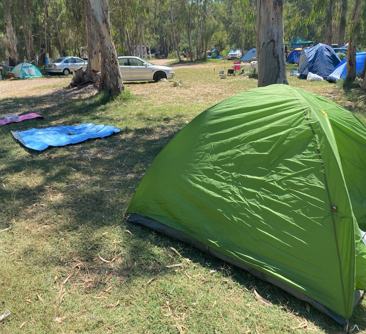
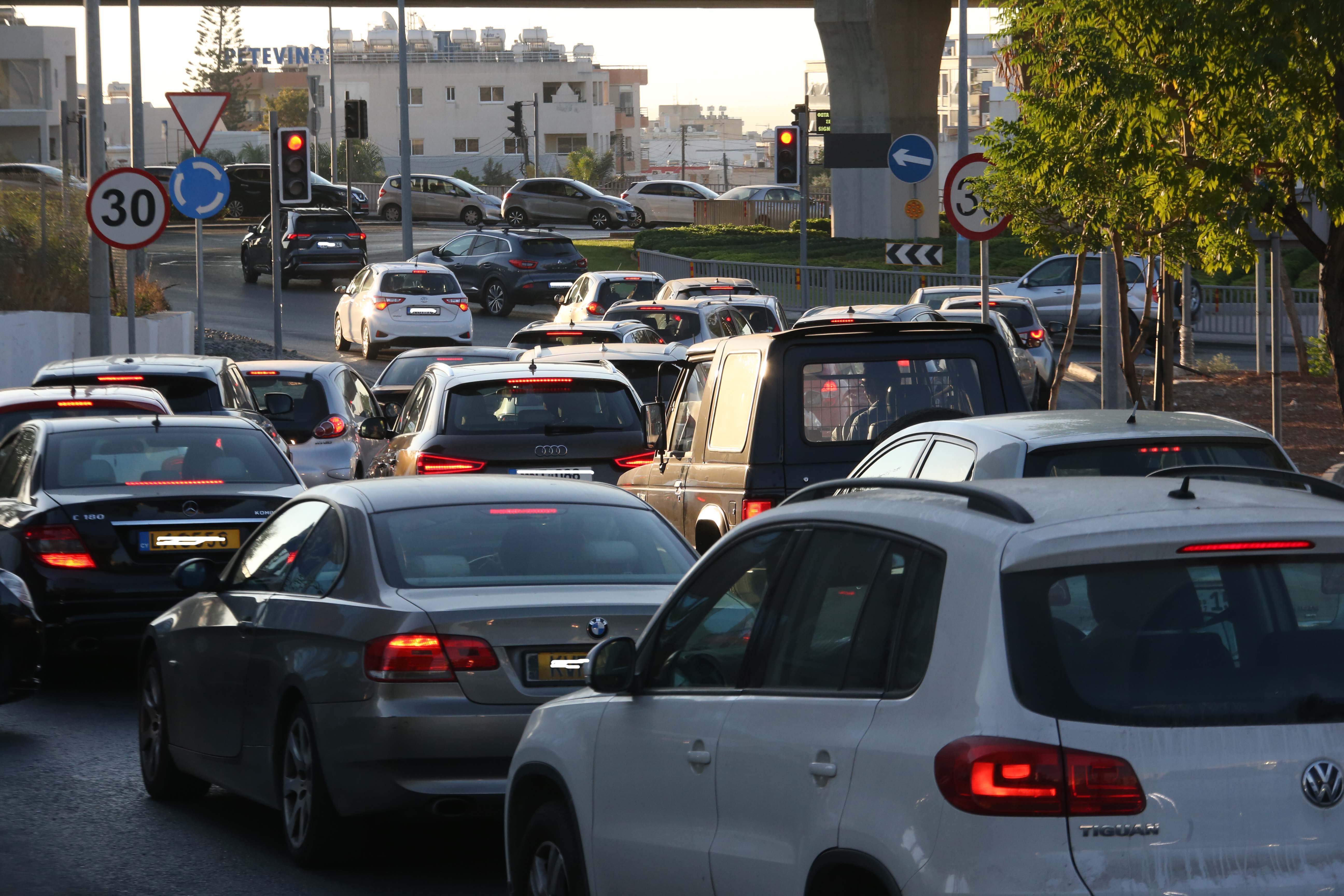
A wave of intense heat has settled across the island on Thursday, driven by a seasonal low-pressure system and warm air masses sweeping in from the south. Weather experts warn that the scorching conditions are expected to linger through the weekend.
Clear skies and strong sunshine will dominate the day, with temperatures soaring inland to a blistering 44C. Coastal areas will be slightly cooler, with the west coast reaching 32C, other coastal regions around 35C, and 34C expected in the mountains. These figures are well above what is considered normal for this time of year.
Winds will blow mostly from the southwest to northwest, light to moderate at first, around 3 to 4 on the Beaufort scale. However, exposed coastal areas may see stronger gusts later in the day, climbing to 4 to 5 Beaufort. The sea is expected to be slightly rough, especially along windward shores.
On Thursday evening, conditions will remain mostly clear. But in the early morning hours, some areas in the southeast may see patches of low cloud and light fog or mist forming. Winds will stay light to moderate, again from the southwest to northwest. The sea will remain choppy in the west, while it will gradually become calmer elsewhere.
Night-time temperatures will offer some relief but remain warm. Inland areas will cool to around 27C, with coastal regions at 25C and mountain areas dipping to 23C. Looking ahead, forecasters say the weather will stay mostly clear and hot on Friday, Saturday, and Sunday. No major changes in temperature are expected, meaning the heatwave will continue. These high values remain significantly above the average for July.
Authorities are urging people to take extra care, especially the elderly and vulnerable. Staying indoors during peak hours, drinking plenty of water, and avoiding strenuous outdoor activity are strongly advised.


Click here to change your cookie preferences