Tuesday will be rainy with isolated storms mainly in the western and northern parts of the island, while snow is expected in the higher mountains.
Temperatures will reach 20 degrees Celsius inland and on the coast and climb up to 9 degrees in the higher mountains.
Light winds will blow from the southwest to northwest at up to 4 Beaufort, gradually strengthening to 5 Beaufort. In the southeast, winds will temporarily become strong to very strong, reaching 5 to 6 Beaufort.
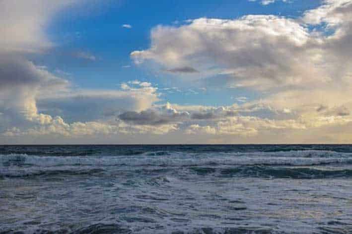
The sea will be slight to moderate, at times becoming rough.
Rain will persist through the night, especially across the western and southern mountainous areas. By morning, scattered showers and isolated thunderstorms are expected. On the highest peaks Troodos, sleet or even snow cannot be ruled out.
Temperatures will drop to 12 degrees Celsius inland, around 14 degrees on the coast and to 6 degrees in the higher mountains.
Winds will blow from the southeast to southwest at up to 4 Beaufort, reaching 4 to 5 Beaufort in windward areas. They are expected to gradually strengthen to moderate to strong, locally very strong in exposed areas, reaching up to 6 Beaufort. The sea will become rough, and later wavy in western parts.
On Wednesday, the weather will remain cloudy with local rains and storms in the western parts of the island. Strong westerly winds are expected in the area, which are set to weaken the evening. Meanwhile snow or sleet is expected in the higher mountains, while the overall temperature is expected to drop slightly.
Thursday and Friday will be cloudy, with temperatures expected to rise slightly before the weekend.


Click here to change your cookie preferences