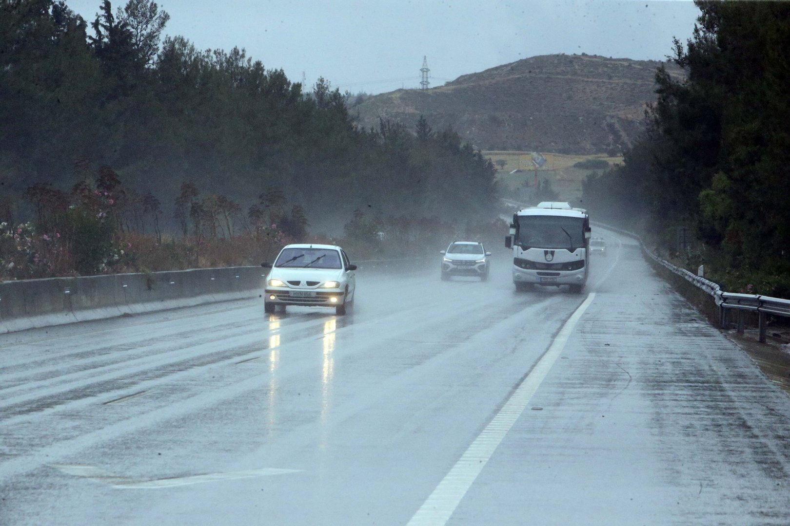
An unusually strong wind field prevails on Wednesday, with unpredictable gusts up to 7 Beaufort, and isolated storms with hail expected. The meteorology department issued a yellow weather warning in place from 11am to 6pm.
The unusual phenomena will start in the west and progress to the rest of the island. Temperatures will rise to 20C inland, 23C on the east and southeast coasts, 18C on the remaining coasts, and 5C in the higher mountains.
Winds will be south-to north-westerly, moderate to strong, up to 5 Beaufort, and on the windward coast gusts will temporarily be very strong, up to 7 Beaufort. The sea will be rough.
Overnight, clouds and isolated rains are expected, as well as snow in the higher mountains. An unseasonal steep drop in temperatures is forecast with 6C expected inland, 8C on the coast, and -4C in the higher mountains, where ice will form.
Winds will largely abate, turning north-westerly to north-easterly, weak to moderate, up to 4 Beaufort, but on the coast and on the eastern half of the island they may be up to strong, 5 Beaufort. The sea will stay rough.
Thursday the unseasonable cold spell is expected to continue, with overcast skies, isolated rains and snowfall.
Friday will see a chance of continued isolated rains and possible snow, but by Saturday temperatures are predicted to rise significantly, back to seasonal norms.


Click here to change your cookie preferences