The Cyprus Ports Authority (CPA) has outlined plans to upgrade and expand the port of Latchi, aiming to increase its capacity to more than 500 fishing and recreational vessels, after submitting an Environmental Impact Assessment (EIA) and an ecological assessment to the environmental department.
The project, described as ambitious, consists of a series of individual works with a total estimated cost of €41.5 million, to be financed entirely by the authority’s own funds.
In order to form a comprehensive view of the proposal before issuing a positive or negative opinion, the department of environment has placed the study under public consultation until February 7.
At the same time, the ports authority has formally notified the submission of the environmental study through newspaper announcements.
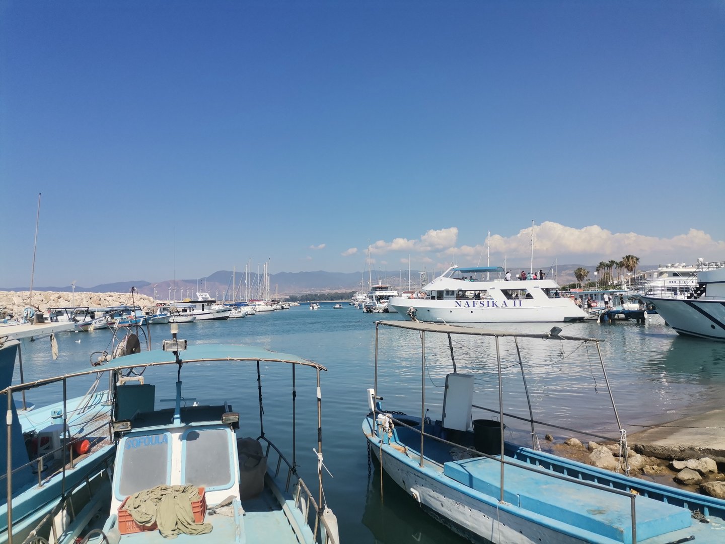
According to the EIA and the ecological assessment, the project concerns the upgrade and expansion of the existing port of Latchi, which currently accommodates around 350 vessels, including fishing boats, pleasure craft, port police vessels and small cruise ships.
The main objective is to expand the port basin seaward, towards the north and east, through the construction of new external protection works, namely a windward and a leeward breakwater.
This will allow for the creation of a new port basin, additional berthing positions and new land areas.
As outlined in the study, the chosen design focuses on development to the east and north of the existing basin.
It includes the construction of new windward and leeward breakwaters, as well as backfilling works to create new land where service buildings are planned for the future.
The positioning of the new windward breakwater was largely dictated by the presence of archaeological findings at the western end of the existing port.
Meanwhile, the entrance to the new harbour basin has been designed to ensure safe docking conditions for most of the year.
The proposed works include the construction of a new windward breakwater of approximately 500 metres and a new leeward breakwater of around 270 metres.
New quays will be built within both breakwaters, alongside dredging works where required.
Additional land areas will be formed behind the coastal piers, as well as on the existing windward breakwater and along access roads to the floating piers.
The project also includes river estuary management works and the construction of a new culvert, the installation of port equipment such as fenders and mooring points, and the development of full infrastructure networks, including rainwater drainage, sewage, firefighting systems, water supply and lighting.
An area will also be created for the reception of liquid waste from vessels, together with land-based infrastructure for the collection of oily residues.
Once completed, the expansion will add capacity for 186 additional vessels, both fishing and recreational, with a maximum length of up to 40 metres.
The existing basin will continue to serve local fishermen and tourist vessels, while the new berths will be allocated mainly to private pleasure boats.
Each berth will be equipped with water and electricity supply connected to the existing network.
The project also includes a fuelling point and dedicated facilities for the collection of liquid waste from vessels.
The project’s design lifespan has been set at 50 years, in line with the BS 6349-1:2000 standard.
In the newly created land areas, future building facilities with a total area of about 4,500 square metres are planned. These will house administrative services, recreational spaces and retail units, and their requirements have already been factored into the design of the electromechanical infrastructure.
However, the architectural design of these buildings will be the subject of a separate competition, while their construction will be carried out under a different contract from the main port works.
According to the study, the new windward breakwater will have a symmetrical curved shape, starting on a south-north axis before turning east and then running parallel to the coastline.
It will end with a widened section measuring 20 by 34 metres, where the oil spill response area will be located.
The breakwater will be built as a mixed structure, using artificial boulders on the seaward side and quays on the inner side.
At the same time, the existing windward breakwater will be reconstructed to accommodate new land areas and future buildings, with interventions limited to its northern side and terminal section.
The leeward breakwater will be constructed almost perpendicular to the new coastal quays and will include a widened section at its end for liquid waste collection.
It will be built exclusively using natural boulders recovered from the removal of existing structures.
New land areas and coastal quays of approximately 217 metres will be formed between the new and existing leeward breakwaters.
As the eastern boundary of the new structure comes close to an existing detached breakwater, partial removal will be required to ensure free water circulation.
Material recovered from this removal will be reused for the construction needs of the project.


Click here to change your cookie preferences