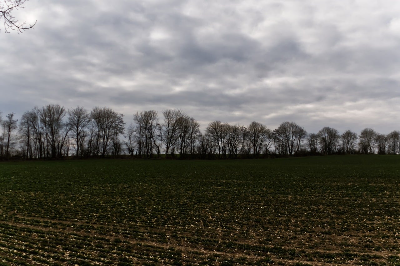
A yellow warning for isolated strong storms has been issued by the Department of Meteorology, valid from 10pm on Tuesday until 5pm on Wednesday..
Isolated strong storms are expected to start in the western half of the island and spread progressively progressively elsewhere.
Hail is also expected while the winds may vary and strengthen. Precipitation is expected to range between 35 and 55 millimeters per hour.
On Tuesday the weather will be mostly cloudy with light rains and possible thunderstorms while ongoing dust in the air is expected to intensify. Temperatures will rise to 19C in the interior, 21C on the coasts, and 11C in the higher mountains. Winds will be mostly north- to south-easterly, light to moderate, up to 4 Beaufort. The sea will be somewhat rough.
Overnight will remain overcast with local showers and isolated thunderstorms expected after midnight, and possibly hail. Temperatures will drop to 11C in the interior and on the north coast, 15C on the east and west coasts, 13C on the remaining coasts, and 5C in the higher mountains. Winds will be mainly north to north-easterly, moderate, up to 4 Beaufort and at times strong, up to 5 Beaufort. The sea will be remain slightly rough.
By Wednesday the dust is excepted to disperse but the weather will continue cloudy and rainy into Thursday and Friday.
Temperatures will gradually drop through Thursday, fluctuating close to the average for the season and stay steady on Friday.


Click here to change your cookie preferences