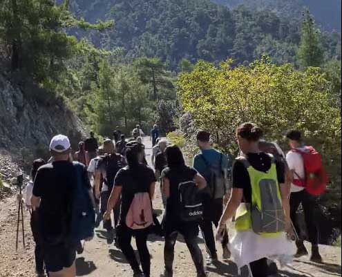
Hiking is becoming increasingly popular, but some badly marked paths can make those jaunts stressful
While Cyprus boasts some stunning nature spots, many hiking routes meant to highlight their beauty lack clear signposts or point in misleading directions.
The problem is exemplified in cases where people get lost, as was the case over the weekend where a 34-year-old woman got lost hiking in Amiandos with her 12-year-old daughter. Police were called in to rescue them.
Though it rarely gets to the stage of calling for help, both the forestry department and deputy tourism ministry recognise the issue. A root of the problem lies in the fact that not all nature trails fall under the responsibility of one authority. Currently, 64 trails are prepared and overseen by the forestry department while around 31 are outside of the department’s scope, often prepared by local communities.
A spokesperson from the deputy tourism ministry explained to the Sunday Mail that “due to Covid, people have been going out in the country more. Problems we already knew about are coming to the fore, all the more.”
To illustrate the confusion, two women who went on the Zalakas trail in Trimiklini village were left meandering around the village for a good 30 minutes trying to figure out where the trail actually begins. While the sign was placed at the parking spot in the village, the trail actually begins 300 metres from across the street, taking a few turns up towards the mountains. A simpler solution would simply be to say the hiking route begins at the Zalaka chapel itself.
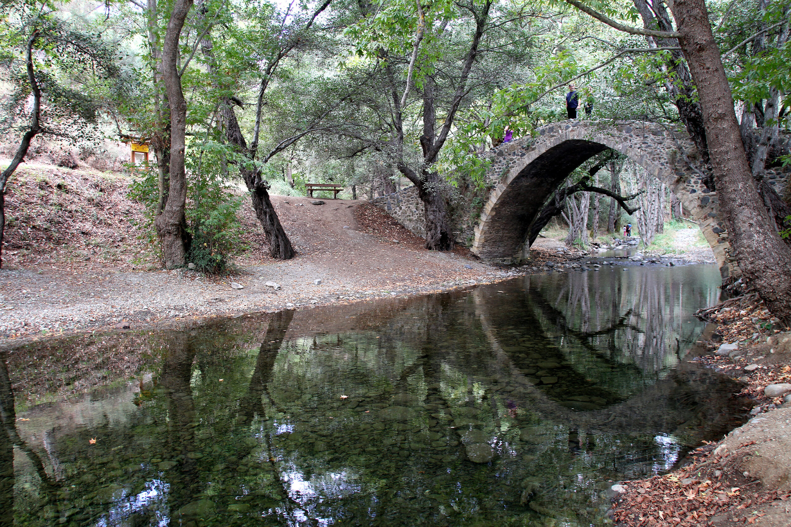
The Tselefos Venetian Bridge.
Then lies the issue that once at the top of the mountain, there are two arrows pointing in two completely different directions – while that may hint at meaning the hiker will end up on the same path, people surrounded by forest land prefer to have a sense of security knowing they’re going in the right direction.
There are also instances where one reaches paths with different possible directions with no arrows to indicate where one should go, wagering a guess, at best.
According to the forestry department spokesperson however, 90 per cent of the hiking routes which fall under their responsibility are in excellent condition. George Constantinou, the press rep for the department says whenever they receive a complaint for a specific route, it is immediately taken care of.
Signage is not the only issue – there is also the matter of maintaining the trail, keeping it clean and cleared of trash. Constantinou adds they also ensure informing the public of any times when weather conditions require a trail to be closed to the public.
While the public may not know – or care – about which authority a trail falls under, Constantinou highlights that as part of the cooperation with the deputy tourism ministry, efforts are underway to streamline all trails so as they meet certain standards.
For those trails done by community councils, if they receive funding by the Cyprus agricultural payments organisation, the forestry department needs to give the final go ahead for the trail, ensuring it meets sufficient conditions such as clear signs and resting points.
The deputy tourism ministry explains that Cyprus is lucky in one respect because many nature paths were already mapped out from the colonial era since the British. Now efforts are underway to utilise them and maximise the potential of existing ones.
A national committee is also going to be set up to create a template on how nature trails should be and work will commence toward that goal – though there is no clear timeframe.
One avid hiker Michalis, who did not want to share his last name said “I love hiking but I can’t tell you how many times I’ve gotten lost in the forest because I have no idea if I’m going in the right direction. How hard can it be?”
One solution is to buy hiking books complete with apps to download which have maps and send alerts on your phone if you are going off the path.
“The problem with these though is you going for a walk on a beautiful trail and your eyes are constantly distracted by your phone, checking whether you are still on course,” says walker Chrysanthi Savvides.
But they are a useful option, and the deputy tourism ministry aims also to create an app where users can view the best trails that are most maintained so as to provide a sense of security and ease.
Constantinou also points to the government’s data.gov.cy website and the forestry department’s page which has location information on hiking routes and camping sites that the public can use. https://opendata-sandbox.ouc.ac.cy/group/τμήμα-δασών?sort_by=changed&page=1


Click here to change your cookie preferences