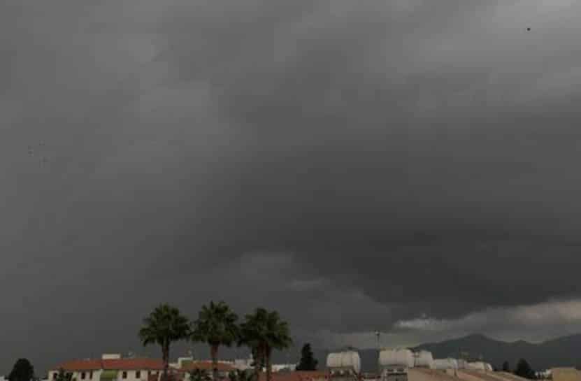
An orange weather warning for thunderstorms was issued on Monday by the met office.
The warning will be in place from 11am to 6pm and isolated thunderstorms are expected to affect mainly mountainous areas and the north and east parts of the island.
Precipitation rate is expected to range between 55-70 millimeters per hour while hail is also likely.
Water from torrential rains accumulated on Sunday night on the Paphos-Limassol highway with police urging drivers to be careful, particularly near the Geroskipou exit.
The weather is expected to be unsettled with clouds and initially isolated rains or a storm expected mainly on the coasts. Temperatures will rise to 32C in the interior, on the south-east and on the east coasts, 31C on the remaining coasts and 23C in the higher mountains.
Overnight the weather will gradually turn mostly cloudy with local rains expected and a chance of isolated storms mainly in the west and south-west of the island. Temperatures will drop to 24C inland and on the coasts and 17C in the higher mountains.
On Tuesday the weather will initially be mostly cloudy with medium and high clouds and a chance of light rains, while isolated thunderstorms are expected later in the day. On Wednesday and Thursday the weather will be mostly sunny.
Temperatures on Tuesday are not expected to change appreciably, remaining below average for the season and rising again through Thursday to slightly above the average.


Click here to change your cookie preferences