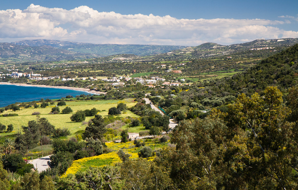
The proposed Akamas development plan widely misses the mark of its declared intent as key provisions continue to threaten the integrity of the Natura 2000 network, the environment department’s environmental impact assessment concluded on Tuesday.
Its report said that the revised plan has moved in the right direction but that significant issues remain.
The report warned of “cumulative, negative and irreversible impacts” on the special conservation zone and the Akamas protection zone.
Following the department’s comments Agriculture Minister Costas Kadis said “we can now feel more secure and go ahead with the plans”.
He said the plan met the expectations of the government which was to allow people of the area to press ahead with development but without damaging the environment.
“By the end of August this issue, which has been hanging over local communities for so long, will be finalised,” Kadis said, stressing that the comments of the environment department were binding.
The department further noted that after revisions were made to the plan there has been a move in the right direction but that significant provisions for scattered development remain. These are far from residential centres and development limits – to the extent that such a move is not justified.
It reasoned that there is sufficient capacity for such developments under the existing development zones.
The report added that several of the re-zoning proposals – which would allow development – will have individual effects on their own and would jointly lead to cumulative impacts.
The authority reasoned that a considerable number of development proposals are outside their designated boundaries – which are already being expanded – and there does not appear to be a need to add more residential and tourist zones to the levels proposed within the plan.
It was also emphasised that the sustainable development of the Akamas peninsula must showcase the natural importance and its uniqueness, without eroding its character and the geomorphology of the area. It added that the Natura 2000 network cannot be put in danger.
Greens party leader Charalambos Theopemptou explained the process of such a development plan.
“First of all, if you want to change the town planning regulation for an area – step number one is to carry out a strategic environmental impact assessment study – so an expert will study what it is that you want, prepare a study and then this report will be sent to the environment department,” he said.
The environmental authority will then look at the report and identify if there are protected areas – such as Natura 2000 areas – and if there are then they have to carry out their own study.
“When they complete that study, they release an opinion,” he said, adding: “That’s what came out today. That opinion will now go back to the town planning department who, based on the environment opinion, will announce the plan.”
The environment authority said that it received the strategic environmental impact study from the town planning department on February 26.
As previously reported by Cyprus Mail, four key Akamas areas are the focus of discussion, the first being the government-owned forest land, where there are plans to build asphalt roads and controlled entry points and create refreshment areas and services inland and on two beaches.
The second area concerns private properties enclosed within the state forest. Over the years there has been talk of exchanging these with government land elsewhere, but this has never materialised.
Third are the areas where private land needs to be protected as it falls within the EU-designated Natura 2000 protected zone and finally, there is the issue of private plots in and around the villages and the possibility that the government will expand permitted residential building in these areas.


Click here to change your cookie preferences