Hurricane Fiona is headed toward eastern Canada and is expected to reach the Atlantic region by Friday in what could be a severe weather event as the storm continues to gain strength, Canadian meteorologists said on Wednesday.
Fiona powered up to a Category 4 storm on Wednesday, packing winds as high as 130 miles per hour (215 km per hour), as it moved northward after carving a destructive path through the Dominican Republic and Puerto Rico.
Hurricane-force winds are expected to reach Cape Breton, which has a population of about 100,000, by Friday and continue north over the weekend, Environment Canada said in an alert.
“This storm is shaping up to be a potentially severe event for Atlantic Canada,” the alert said. It was issued for much of Atlantic Canada, along with parts of southern Quebec, Canada’s second most populous province.
Hurricanes are common in Atlantic Canada, with three to four storms entering Canadian waters on average each season and about half of those making landfall.
“We are really expecting damaging winds, possibly damaging storm surge, coastal flooding, flooding rains,” Environment Canada meteorologist Jill Maepea said.
“This is expected to be a very large system,” Maepea said, adding that authorities are anticipating several days of power outages in areas hardest hit by winds.
Parts of Cape Breton islands and eastern Nova Scotia have had rainfall throughout the summer, making them more vulnerable to flooding, she said.
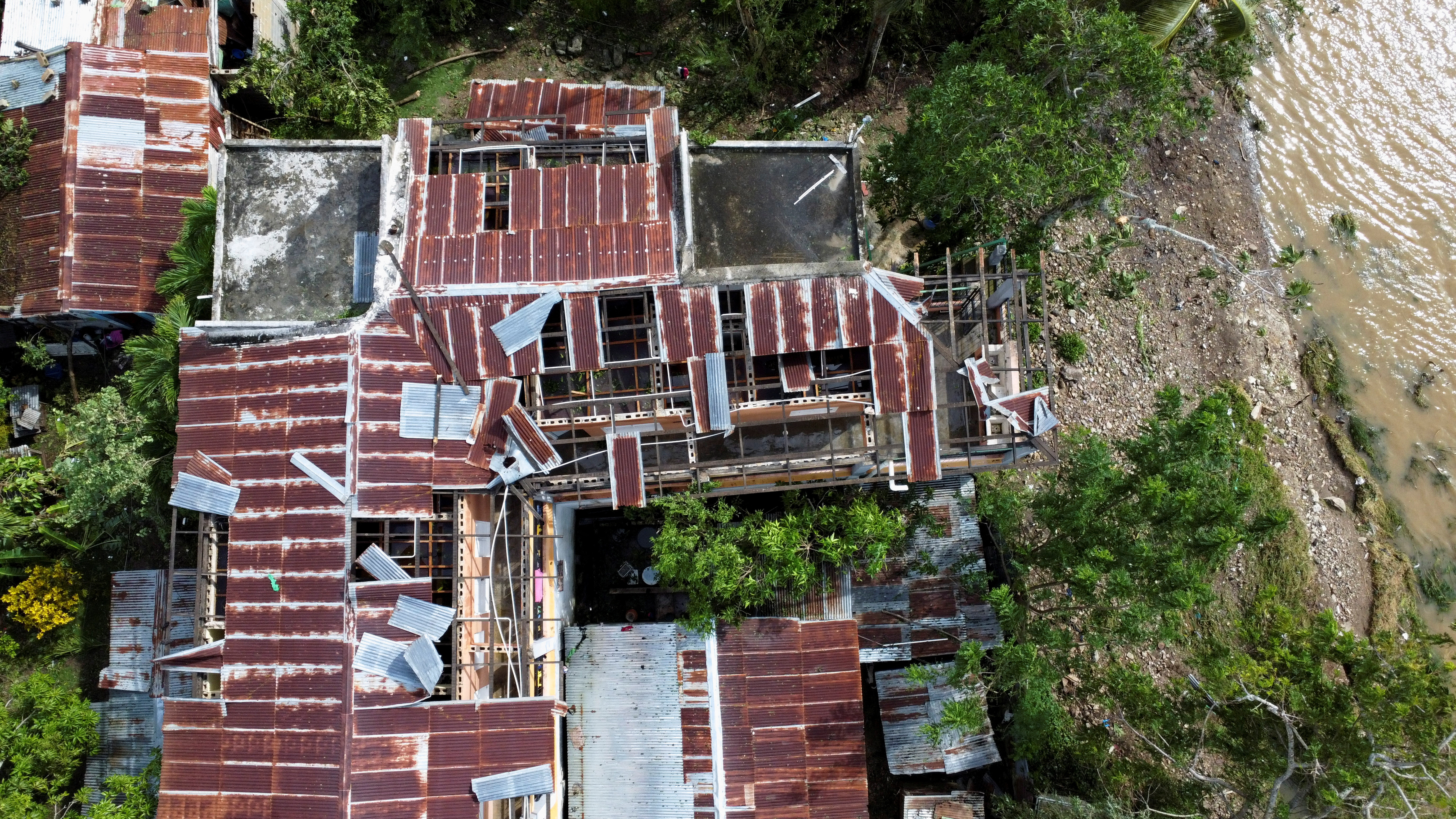
Fiona made landfall in Puerto Rico on Sunday and has since caused devastating flooding and landslides on the island, a U.S. territory. Over the following two days, the storm gathered steam as it barreled into the Dominican Republic and the Turks and Caicos Islands.
About 40% of Puerto Rico’s 3.3 million residents were still without water and three-fourths were lacking power on Wednesday, as authorities tried to determine the scale of the destruction.


Click here to change your cookie preferences