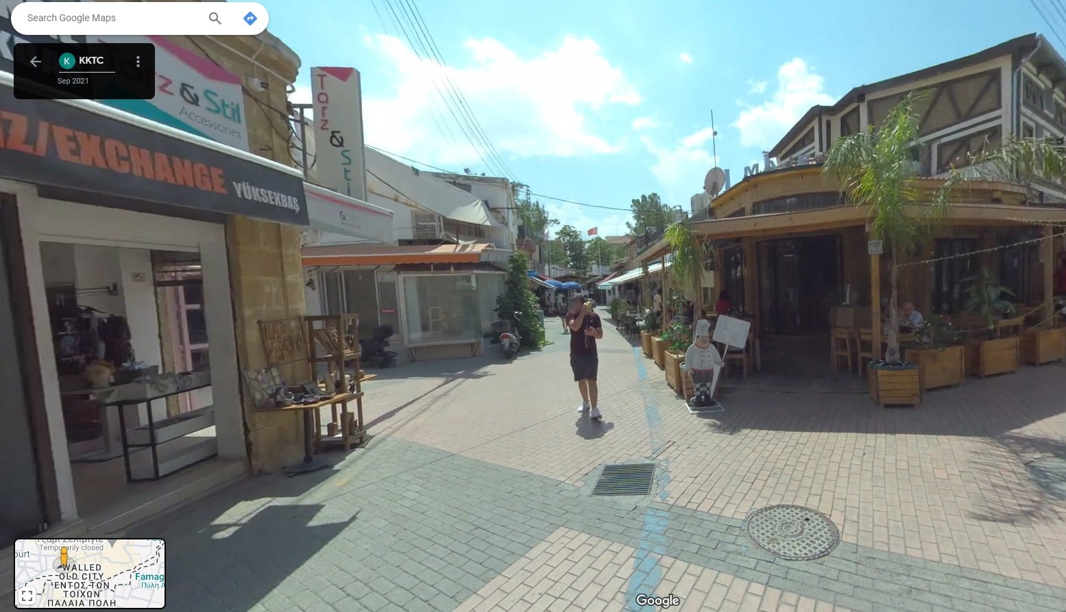
Roads in the north are set to be included in Google Street View, while its profile on Google Earth and Google Maps will also be boosted.
The news comes following the signing of a protocol between ‘transport minister’ Erhan Arikli and Fact Innovation and Technologies director Sadi Yolgecen and will see a Google scanning vehicle visit the north to collect data.
Speaking following the signing of the protocol, Arikli said “the TRNC has taken an important step with the aim of becoming more visible in the international arena and increasing its promotion.
“Thanks to this protocol, the country’s roads will be scanned with a special vehicle and camera, and the data will be published on Google platforms.
“The main purpose of this project is to increase the country’s visibility in the international arena by presenting the infrastructure, transportation network, and geographical structure of north Cyprus in detail to millions of users around the world,” he said.
He added that the north’s roads on Google Street View will help show the north’s “touristic and economic potential” to a wider audience, including potential visitors and investors.


Click here to change your cookie preferences