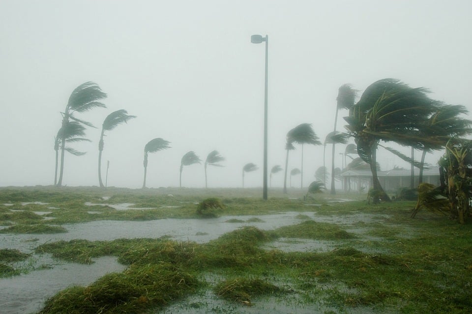
A yellow warning has been issued for thunderstorms over the weekend, starting at 11am on Saturday and ending at 4am on Sunday.
The Meteorological Department expects isolated heavy thunderstorms, mainly in the west and south, with hail and near gale winds of up to 7 Beaufort.
Rainfall will range between 35 and 50 millimetres per hour.
Saturday will start off cloudy with local showers and isolated thunderstorms and possibly hail.
Winds will be a moderate to fresh southwest to northwest breeze, 4 to 5 Beaufort, and in some areas strong, 6 Beaufort, over moderate to rough seas.
Temperatures will reach 19C inland and along the coast, and 8C in the highest mountains.
On Saturday night, clouds will yield local showers and isolated thunderstorms with possible hail, moving towards the east.
Winds will be a moderate to fresh southwest breeze, 4 to 5 Beaufort, and locally strong, 6 Beaufort, over rough seas.
Temperatures will drop to 8C inland, 12C along the coast and 4C in the highest mountains, where frost is expected to form.
Sunday will start off cloudy with isolated showers and a possible thunderstorm, but will soon turn to mainly fine weather.
Monday and Tuesday will be locally cloudy, with showers and isolated thunderstorms, and possible sleet or snow on Troodos’ highest peaks.
Temperatures will drop slightly on Monday, to rise on Tuesday to around the average for the season.


Click here to change your cookie preferences