An ongoing cold air mass and a northerly wind field continue to affect the island on Friday. The day will be partly cloudy with isolated rains and snowfall in the mountains. Temperatures will rise to 11C inland, 14C on the coast, and 0C in the higher mountains where frost will form. Winds will be mainly north-westerly to north-easterly, weak to moderate, up to 4 Beaufort, and on the coast up to strong, 5 Beaufort. The sea will be rough.
Overnight will be mainly clear with localised clouds, mainly in the coastal areas. Temperatures will drop to 5C inland, 6C on the coast, and -4C in the higher mountains. Winds will continue to be northerly, weak to moderate, up to 4 Beaufort. The sea will be slightly rough to rough. Frost is expected in the mountains, semi-mountainous and inland areas.
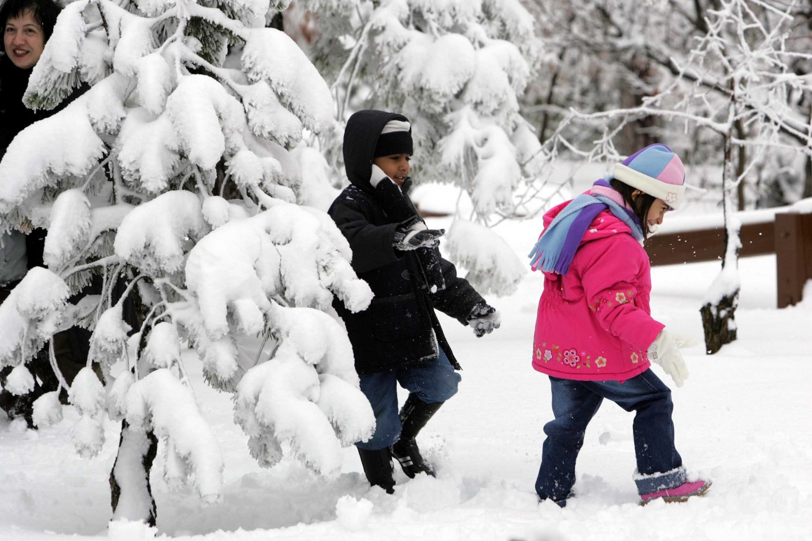
Over the weekend on Saturday, the weather will be mainly clear with a chance of snow in the higher mountains and Sunday will be at times overcast, with isolated showers and more snowfall in the higher regions. Monday is expected to bring more rains, snow and a chance of isolated storms.
Temperatures will increase slightly on Saturday and are expected to hold steady through Monday, below the seasonal norm. The depth of snow, at the time of publication, both in Troodos Square and on the highest peaks of Troodos, was 19cm.


Click here to change your cookie preferences