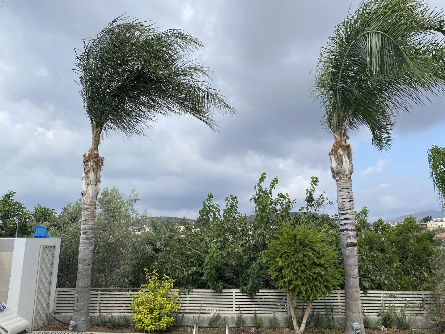
The met office announced a yellow weather warning in place for Tuesday from 10am until 6pm for intense rainfall in some areas.
Tuesday morning will see locally increased clouds and rains mainly in the mountains and the north, carrying on into the early afternoon with some isolated thunderstorms expected. Heavy rains and hail are likely, with the effects weakening by late afternoon. Temperatures will rise to 30C in the interior, 29C on the southeast and north coasts, 28C on the remaining coasts, and 18C in the higher mountains. Winds will be variable, initially light, and later up to moderate, 4 Beaufort. The sea will be rough.
Overnight will be mainly clear with locally increased clouds and a chance of isolated rains on the north coasts. Temperatures will drop to 17C in the interior and the north, 19C on the remaining coasts, and 11C in the higher mountains. Winds will be mainly north-westerly to north-easterly, light, up to 3 Beaufort. The sea will be calm to slightly rough.
On Wednesday afternoon, isolated rains or even a short storm are expected in the mountains and south of Troodos. Temperatures will rise slightly reaching close to average for the season.
On Thursday the rainy spell is predicted to continue with afternoon clouds and rains, mainly in the mountains, while by Friday the weather is expected to clear up. Temperatures will not change significantly.


Click here to change your cookie preferences