The national maritime spatial plan (MSP) approved by the council of ministers last Wednesday is to be submitted before the EU in Brussels which will determine if relevant community directives have been properly transposed into its texts and maps, in including those outlining development activity.
The MSP essentially aims to organise human activity in marine areas so as to achieve the state’s financial, environmental, and social goals. These include the development of a blue economy, sustainable use of marine resources and the maintenance of healthy marine ecosystems and biodiversity.
One decision of interest concerns the location of the hydrocarbon research, mining and extraction zone adjacent to the ‘Oceanis’ area of the Natura 2000 network in Paphos, designated as a special area of conservation (SAC) and special protection area (SPA).
Over a third of the protected area, that is around 38 per cent, has been assigned for energy production in the MSP plan, according to Phileleftheros. Specifically, it is reported that the Paphos port makes up around 2 per cent, the Port of Latchi is to take up a little over 4 per cent, marine traffic corridors around 9 per cent, and the hydrocarbon research, mining and extraction zone, 22 per cent of the total area of the protected zone.
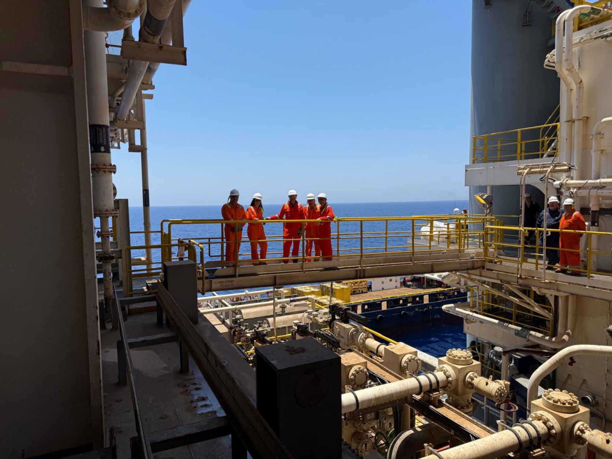
In line with the priority given to the energy sector, the MSP provides for future planning and infrastructure for projects such as the EastMed pipeline and the EuroAsia Interconnector, as well as for a Cyprus-Egypt interconnection. The plan proposes creation of protection zones for the pipelines and cables to avoid fallout from other conflicting activity in the area.
Additionally, other future sea-based or coastal renewable energy infrastructure sites are being proposed for further investigation such as for the development of wind energy facilities.
The MSP ostensibly aims to contribute to the sustainable development of the energy sector, to maritime transport, fishing and aquaculture, tourism, and extraction of raw materials, as well as the protection of marine antiquities, and environmental conservation, including resilience to climate change.
The MSP will come into force immediately and all uses and activities in the maritime waters of the Republic will have to comply with it. It is noted that the usage restrictions placed on terrestrial coastal areas and waters have been taken into account.
Based on the terms of the special ecological assessment report, all areas proposed as sites of community importance (SCI) are marked in the plan. Furthermore, all forms of renewable energy sources (RES), including wind, wave and hydroelectric farms, will be sited outside the boundaries of Natura 2000 network areas.
According to the news source, available biodiversity data on avian fauna, does not detract from the capacity to conduct investigation into the above-named RES projects.
In addition, the MSP calls for construction of marine works in efforts to mitigate coastal erosion and does not prohibit the declaration of new bathing areas, where compatible.
Marine tourism, which includes coastal, cruise and yachting activities, with its incumbent beach accommodation, marinas, and leisure activities (water sports, diving, etc.), other recreational and dining areas, are mapped in the MSP.
Swimming and recreation areas are determined on an annual basis by decree from the competent authority, including designated passageways to allow movement of boats for water sports.
Coastal tourism is tied primarily to land-based developments, in accordance with the existing urban planning regime.
The ministry of tourism has promoted the creation of floating dining areas through relevant legislation in undeveloped areas which do not already offer a large accumulation of catering facilities.
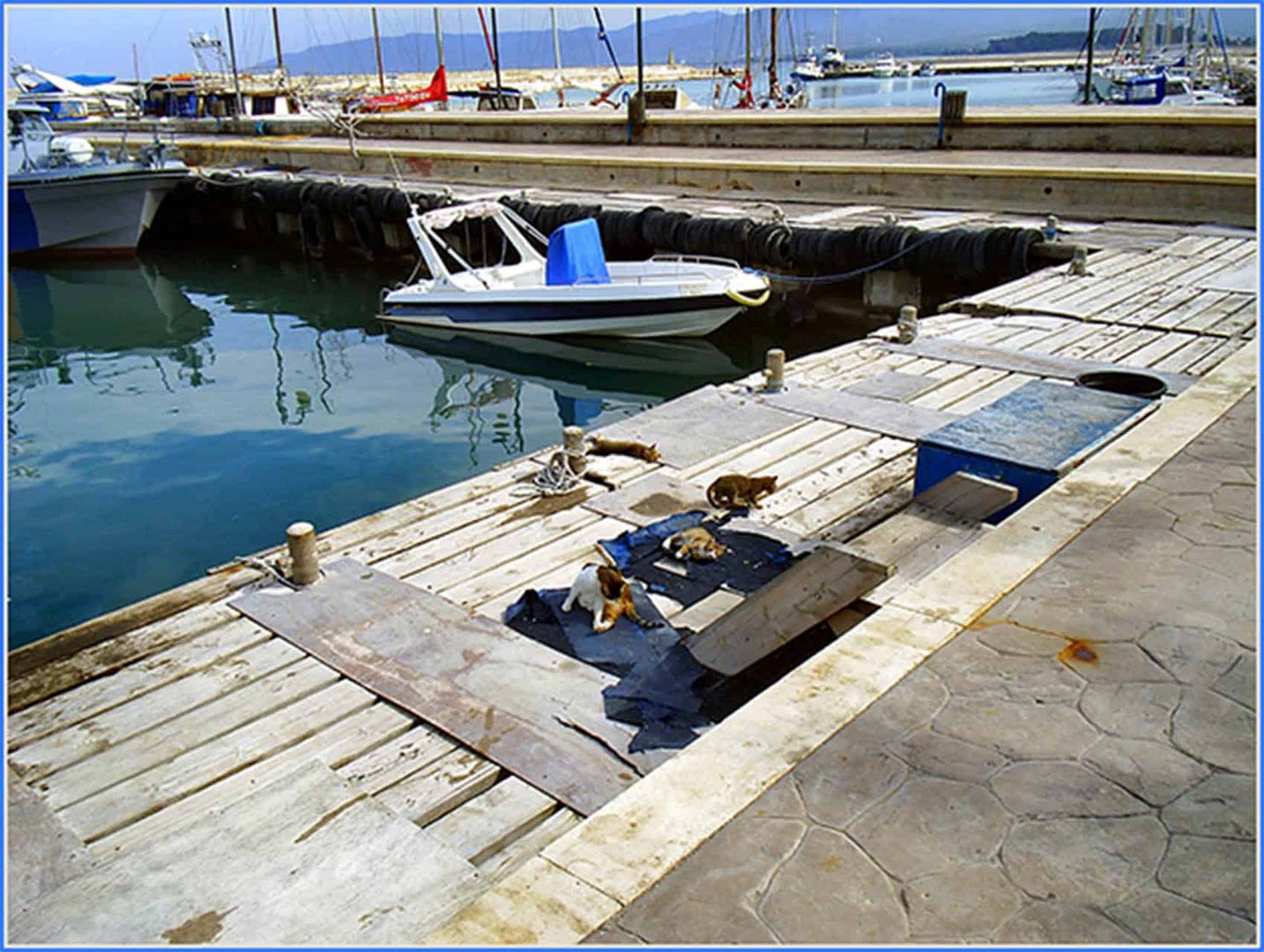
The MSP moreover shows the areas of port activity, including mooring and docking areas and other requirements for maintenance and provision of maritime traffic.
In order to preserve protected areas and ecosystems of high ecological value, all existing and proposed areas of the Natura 2000 network, as well as existing and proposed marine protected areas with artificial reefs and fishing restrictions in place, are recorded in the plan. For all protected areas, management plans may be prepared by the competent authority.
Finally, regarding the promotion of fisheries and aquaculture, the plan shows all designated marine protected areas with any restrictions on such activities in place.
Regarding public fishing, general and seasonal prohibitions are in place, as well as limitations placed on the use of specific fishing gear. These are regulated under fisheries, as well as European and international legislation, and are incorporated into conditions for issuance of professional and recreational fishing licences.


Click here to change your cookie preferences