Cyprus is set to bake under intense heat over the weekend, as a seasonal low-pressure system combines with a hot air mass moving in from the south. Weather experts warn that temperatures will rise sharply, especially inland.
On Thursday, the skies will remain mostly clear across the island. Some local cloud build-up may appear from time to time, but no rain is expected. Winds will blow mainly from the southwest to northwest, starting off light to moderate, between 3 and 4 Beaufort. As the day progresses, they will strengthen, reaching up to 5 Beaufort in most areas, and even 6 Beaufort along parts of the southwestern coast.
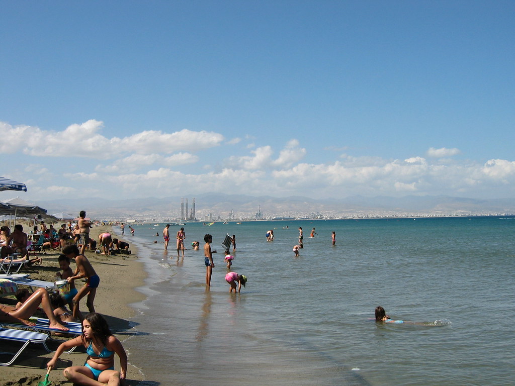
The sea will be slightly to moderately rough in the southwest, west and north. Conditions in the southeast and east will start off calm to slightly rough but may become more unsettled later in the day. Temperature-wise, the mercury is expected to reach 37C in the central areas, 30C on the southwest and west coasts, 34C on the rest of the coastline, and around 30C in the mountains.
On Thursday evening, the weather will stay mostly clear, with low clouds forming locally in western and northern coastal regions. In the early hours, there is a chance of light fog or mist developing inland.
Winds will remain from the southwest to northwest, becoming lighter and more variable overnight, at around 3 Beaufort. The sea will ease to slightly rough in the west and north, and remain calm to slightly rough in the south and east. Temperatures will fall to 24C inland and along the coast, and down to 20C in the higher mountains.
Looking ahead, Friday will bring more of the same, mostly sunny skies and rising heat. But the real spike in temperature is expected over the weekend.
On both Saturday and Sunday, the island will remain dry and sunny, but the heat will become intense. Daytime temperatures are forecast to climb significantly above the seasonal average. Authorities are urging people to stay hydrated, avoid direct sun during peak hours, and check on vulnerable groups.
The weather shift is linked to a hot air mass expected to briefly cover the region, pushing temperatures to dangerous levels.


Click here to change your cookie preferences