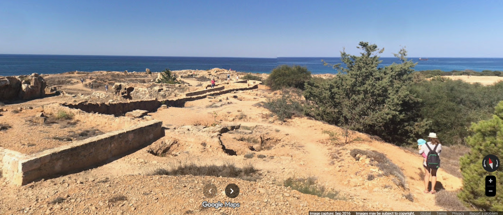
Google launched an updated version of its Street View feature on Tuesday, now covering more of the island, including cultural heritage sites, coastlines, cities and mountain ranges.
Cyprus joins the rest of the member states of the European Union as the last addition to the list, for the first time, offering 360-degree panoramic images of the island’s streets, landmarks and natural landscapes.
“This will enable people around the world to virtually explore the island’s unique blend of culture, history and natural beauty, with more than 10,000km of roads recorded that highlight the magical beauty of Cyprus,” an announcement said.
Street View is a feature of Google Maps, which allows users to explore locations around the world through panoramic images, giving the ability to virtually ‘walk’ the streets and discover attractions with ease.
Some of the locations which have been added to Street View are the Choirokitia neolithic settlement, Petra tou Romiou, the Troodos mountain range, the Cape Greco sea caves and Tombs of the Kings in Paphos.


Click here to change your cookie preferences