The Great Sea Interconnector project was absent from announcements and discussions in Greece following a meeting of the country’s National Security Council (Kysea) on Wednesday.
Earlier in the day, Cypriot President Nikos Christodoulides had said of the interconnector that “we should await Kysea’s official announcements”. However, in official announcements after the meeting, no mention was made of the project.
Instead, according to the official announcement made immediately after the meeting, its main subject had been “the national strategy for maritime space and the training and specialisation of the maritime spatial planning”.
The Cyprus Mail contacted the Greek defence ministry to ask whether the interconnector had been discussed at the meeting but was informed that the ministry was not in a position to comment.
Greek Defence Minister Nikos Dendias spoke to reporters after the meeting had drawn to a close, and first touched on the matter of maritime spatial planning and the map the country’s government had released of its maritime claims in the Ionian, Aegean and Mediterranean seas.
“For the first time, this country is setting the rules for the organisation of its maritime space. Maps now reflect the use, but also the activities which can be developed in the marine zones, the development of tourism, the protection of the environment and cultural heritage, transport and the exploitation of energy resources,” he said.
The matter of the map is one which has strained relations between Greece and Turkey throughout the day, though the Greek government was, according to news website Protothema, insistent that the map should not have come as a surprise to Turkey, given the fact that the country had been ordered to draft a maritime spatial plan by the European Court of Justice in February.
Nonetheless, Turkey’s foreign ministry did issue a response to the map on Wednesday afternoon, saying that “some of the areas in the maritime spatial planning declared by Greece in accordance with European Union legislation violate our country’s maritime jurisdiction areas in the Aegean Sea and the eastern Mediterranean”.
Meanwhile, the country’s Ankara University released its own maritime spatial planning map, outlining its claims in the Black Sea, the Aegean, and the Mediterranean in line with the country’s “blue homeland” doctrine.
The Republic of Cyprus submitted its own maritime spatial plan in 2021, while Turkey’s Anadolu Agency reported that the north’s authorities also intend to compile their own.
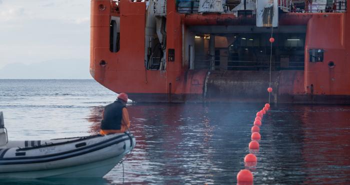
Earlier on Wednesday, Christodoulides had insisted that Turkey had not “blocked” the Great Sea Interconnector project.
He said the undersea cable project which, if completed, will link the electricity grids of Cyprus, Greece and Israel is “a project backed by the EU”.
To a remark that Turkey was happy it had blocked the project, Christodoulides said nothing like that had happened.
“Turkey can celebrate, it can say anything it likes, as it does on many issues. We are doing our own job,” he added.
He said there were agreements in place with the company that would be laying the cable and advised waiting for developments.
Asked about the Greek government’s decision to proceed with maritime spatial planning, he said he was aware of the decision and considered it to be “in the right direction”.


Click here to change your cookie preferences