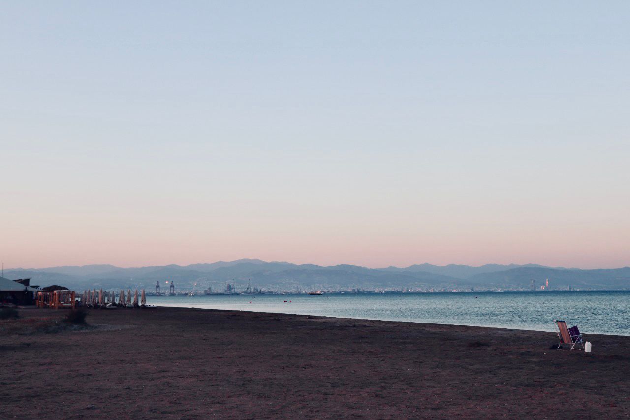
Plans are under consultation to rebuild a restaurant at Lady’s Mile beach, demolished in 2012, as part of broader updates to the planning framework for the British Bases.
The proposal, one of several amendments to the updated policy framework for the British bases (SBAs) of Akrotiri and Dhekelia, is part of a broader planning shift now open for public consultation until June 12, 2025.
Although the structure will be rebuilt on the same site, its licensing is conditional on new environmental studies to ensure the fragile coastal ecosystem remains intact.
At the same time, a long-standing restaurant in Avdimou’s coastal zone has now been brought into the formal planning map, allowing for possible future expansion in line with urban zoning provisions, especially west of the watercourse, where no such framework previously applied.
The changes form part of the final Strategic Environmental Impact Assessment (SEIA), which follows the evaluation of public objections and introduces a series of significant planning revisions.
These include the asphalting of access roads to the sea, the upgrading and reclassification of urban zones, and new provisions for infrastructure such as schools, social housing and photovoltaic parks across both sovereign areas.
While the study notes that the changes are expected to positively impact land values and boost development rights, it also recognises small to medium-scale risks such as loss of arable land and increased soil sealing due to land use changes.
Covering 124.4square kilometres, the Akrotiri SBA falls within Limassol district and intersects two communities—Avdimou and Paramali—and three municipalities, Limassol, Polemidia and Kourion.
Meanwhile, the Dhekelia SBA spans 129.9 square kilometres, with the majority (69.7 per cent) falling under Larnaca and the rest under Famagusta. It includes five communities—Pergamos,
Xylotymbou, Ormidia, Pyla and Xylofagou—and the municipalities of Paralimni–Dherynia and Ayia Napa.
What is more, energy and religious developments are also featured in the amended plan.
These include the proposal for a special siting study for photovoltaic parks near the detention facility in northern Pyla, and provisions for expanding the monasteries of the Monastery of Ayios Nicolaos ton Gaton in Akrotiri and Agios Georgios in Sotira, Limassol.
In Akrotiri, zones lining roads to military installations will be reclassified for commercial use, keeping development coefficients unchanged.
A 13-hectare section currently marked as residential zone H4 will be upgraded to H3, while in nearby Asomatos, planners propose a 12-hectare residential extension westward into irrigated farmland in Z1, which hosts numerous tree crops and lies adjacent to the Akrotiri SAC and Wetlands SPA.
Further residential expansions are planned in Ypsonas and Kolossi, where a 40-hectare merge of zones would create a single, unified area, along with upgrades to existing residential zoning.
In Ormidia, a 15.5-hectare extension is proposed within protection zone Z1, while in Xylofagou, a major 55.5-hectare residential expansion is tabled for the western edge of the community.
New zones of 6.5 hectares are proposed in Achna, along with two new zones totalling 7.5 hectares in Frenaros—both covering land with scattered crops and homes.
In Xylotymbou and Achna, a mixed-use policy under Zone C3-H3 will allow for structured residential development following proportional land division.
Elsewhere, Acheritou is expected to see the creation of a 32.5-hectare livestock zone (excluding pigs) within C3 agricultural land.
Xylofagou’s quarry zone, the only such zone in Famagusta, is also set to expand beyond its current 58 hectares, where three firms already extract subsurface limestone.
Finally, plans are in place for a new 4.5-hectare tent and caravan area within the Xylofagou forest, while land surrounding the historic chapel of Panayia
Evangelistria, leased to the local community, is earmarked for regeneration under a dedicated planning designation.


Click here to change your cookie preferences