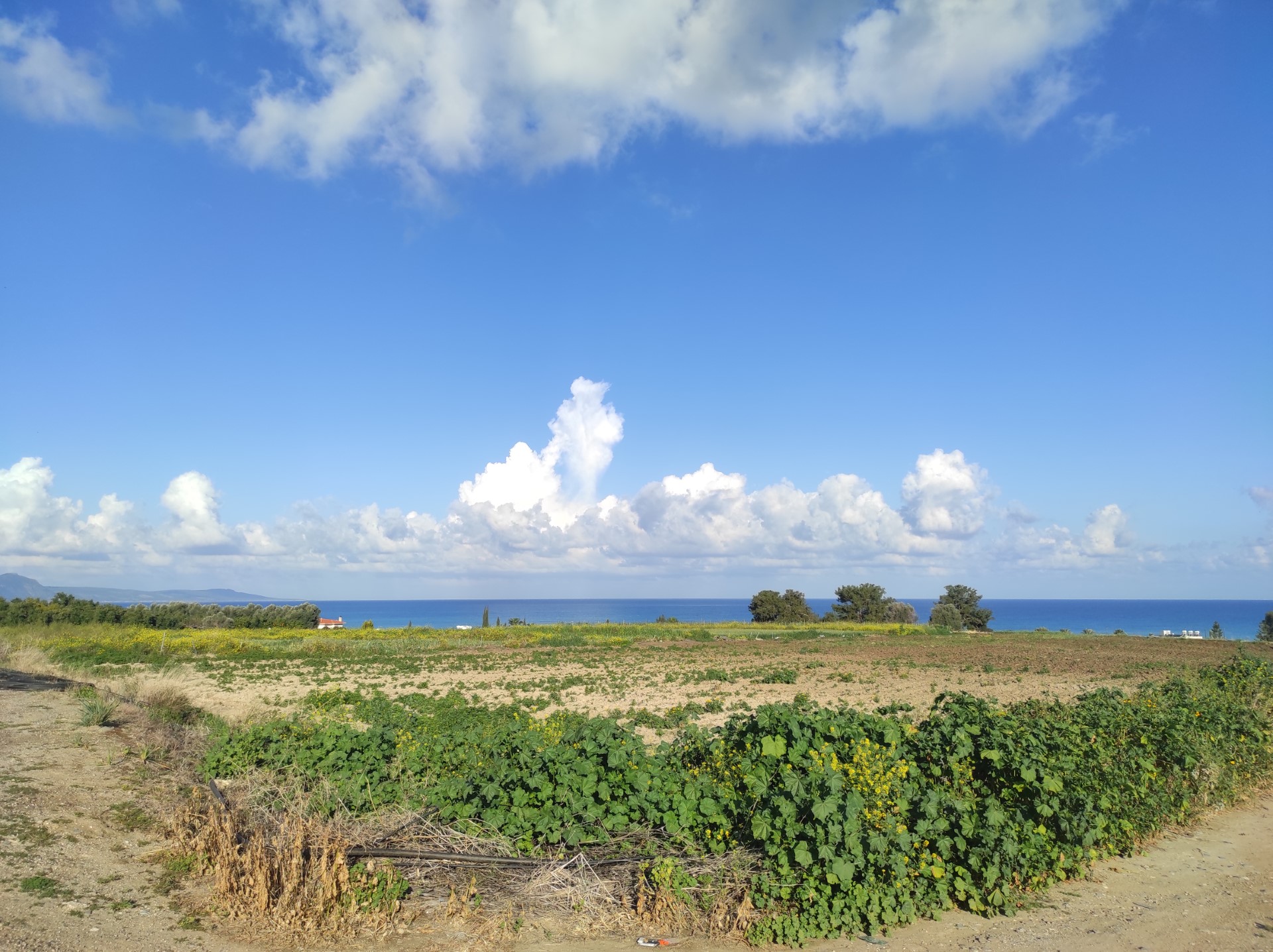
On Friday, there will be periods of increased cloud cover, with isolated showers and storms expected mainly in the mountains and inland at noon and early in the afternoon. Hail may also fall in a storm.
Temperatures will rise to 34 degrees Celsius in the interior, to 27 degrees on the west coast, around 31 degrees on the rest of the coast and to 23 degrees in the higher mountains.
Winds will blow mainly south- to northwest at up to 4 Beaufort, to later increase increase in strength along the south coast, reaching up to 5 Beaufort. The sea will be slightly rough.
Tonight, there will be intermittent increased low cloud cover, and locally light fog or mist is expected to form.
Temperatures will drop to 19 degrees Celsius inland, around 20 degrees on the coast and 14 degrees in the higher mountains.
Light winds will blow mainly northwest to northeast weak, reaching up to 3 Beaufort. The sea will be calm to slightly rough.
Over the weekend and Monday, locally increased cloudiness will be observed which at noon and early in the afternoon are expected to produce isolated rain or even thunderstorms, mainly in the mountainous areas and inland.
Locally increased cloudiness is expected over the weekend and on Monday, with isolated rain or thunderstorms possible mainly in the higher mountains and inland, particularly at noon and early in the afternoon.
The temperature will gradually rise over the next three days.


Click here to change your cookie preferences