
Low pressure is expected to bring cloudy skies, local rain and isolated thunderstorms on Thursday, with conditions gradually improving as the day progresses, according to the Department of Meteorology.
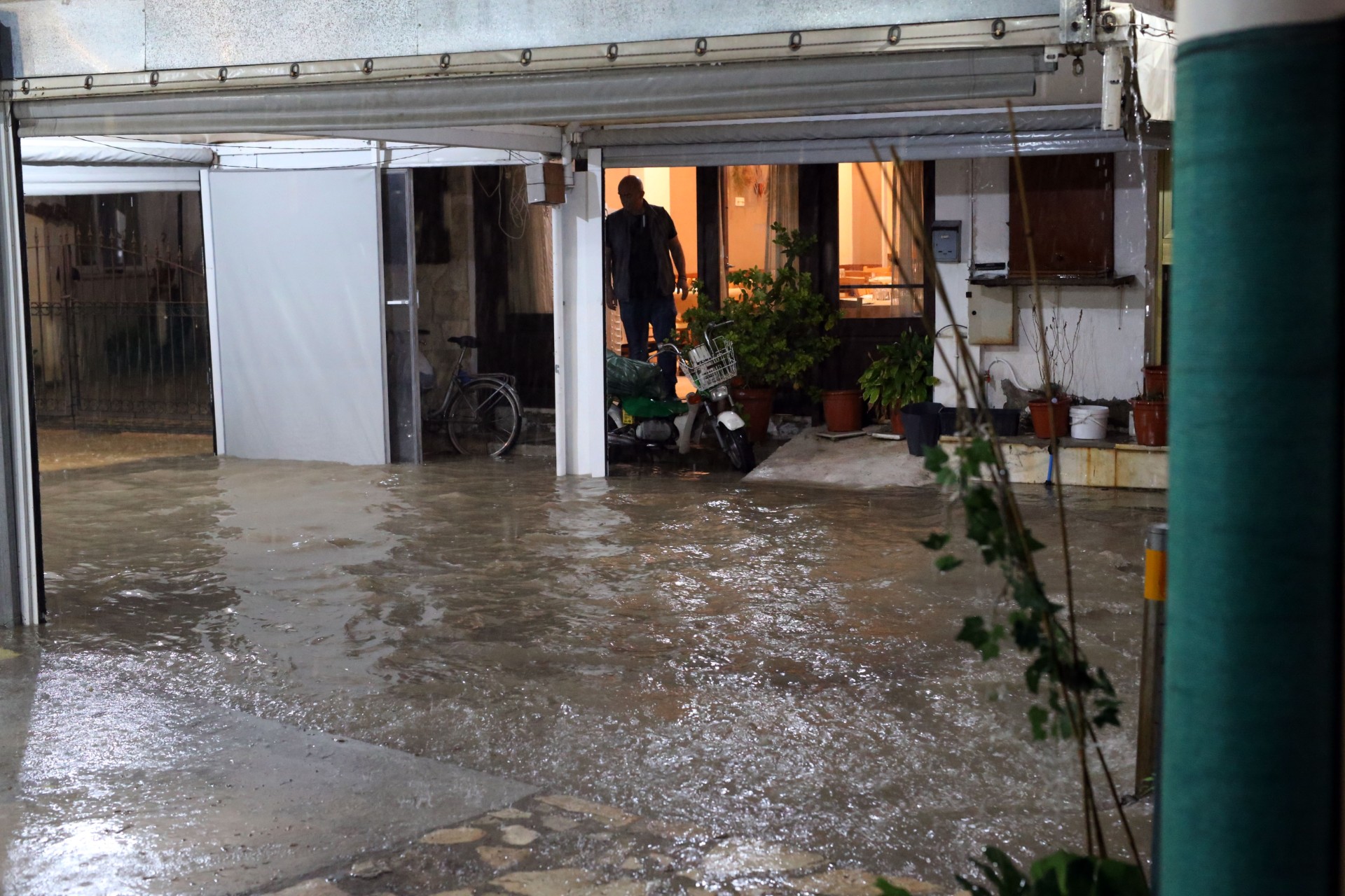
On Wednesday, large swathes of the island was hit by heavy storms causing floods and power outages in parts of Paphos, Limassol and Larnaca.
On Thursday, the weather will initially be mainly cloudy, with isolated showers and thunderstorms expected before the unsettled conditions weaken.
Winds may strengthen during thunderstorms, while the sea will range from slightly rough to rough.
Temperatures are expected to reach around 26C inland and along the coast, falling to 16C in the higher mountains.
No weather warnings were in force when the forecast was issued at 5.30am on Thursday.
In the evening, skies will become partly cloudy, although isolated rain remains possible, mainly in the west and north.
Temperatures will fall to around 15C inland, 17C on the coast and 8C in the higher mountains.
Sea conditions will vary around the island. Morning winds will mainly be south to southwest, reaching force moderate to fresh breeze in some areas.
They are expected to weaken during the afternoon, becoming mainly south to west at light to moderate force.
The sea will gradually become calmer overnight, although conditions in the west may initially remain rough.
On Friday, partly cloudy skies are expected, with isolated showers or thunderstorms possible in the afternoon, mainly in the mountains and inland.
Saturday will bring partly cloudy conditions, with isolated afternoon showers likely in mountainous areas and possible evening rain in the west and north.
Sunday will initially remain partly cloudy, with isolated showers mainly in the west, before skies gradually become mainly clear.
Temperatures are expected to rise slightly over the coming days but remain a little below the seasonal average, the department said.




Click here to change your cookie preferences