
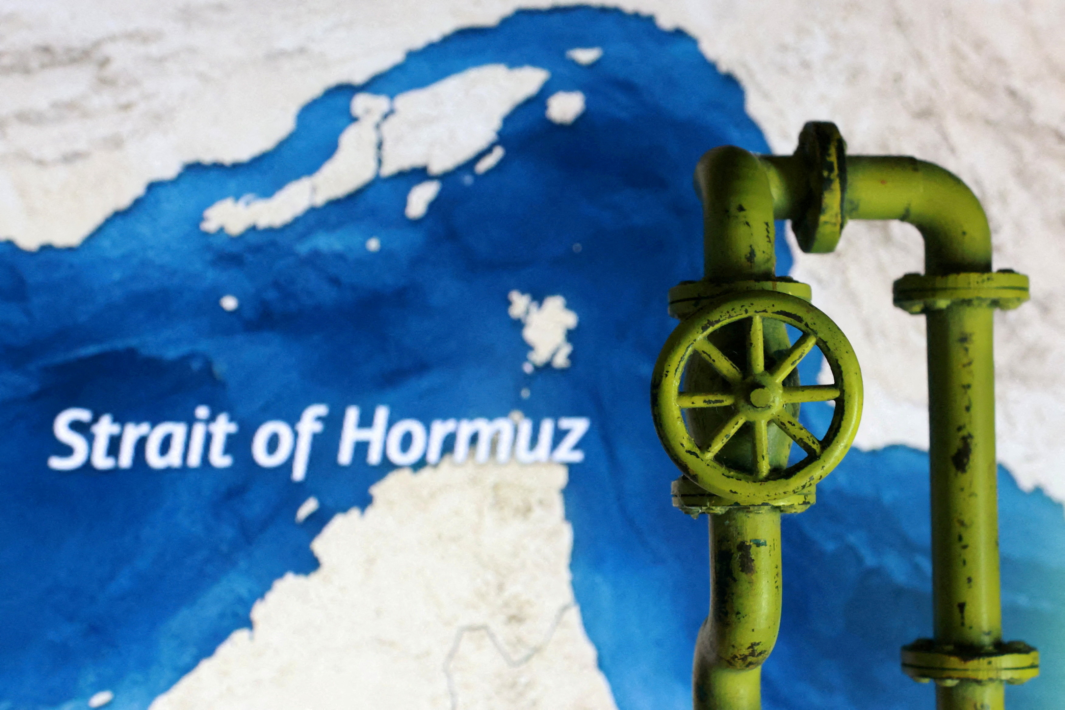
Hundreds of vessels remain unable to transit the Strait of Hormuz, raising concerns that any sudden return to more normal navigation conditions could create a serious navigational hazard in one of the world’s most sensitive waterways.
In response, ICS, BIMCO, INTERCARGO, INTERTANKO, IMCA and OCIMF have jointly produced new industry guidance aimed at helping companies and masters plan and safely manage vessel movements through the Strait during periods of heightened regional security risk.
The document, titled Industry Guidance on the Safe Management of Vessel Transit through the Strait of Hormuz, was issued in May 2026 and is intended to complement the Best Management Practices for Maritime Security (BMP MS). It is designed to support voyage-specific threat and risk assessments, while also assisting shipboard and office teams with transit planning.
However, the guidance makes clear that it does not replace the master’s professional judgement and overriding authority, company procedures, flag or coastal state requirements, charterparty obligations, insurance advice, or current official naval and governmental guidance.
According to the document, the safety of life, safe navigation and protection of the environment must remain the primary considerations, while transit decisions should be based on fresh and continually updated voyage-specific assessments.
This means that the master, company security officer, shore management and ship security officer should maintain a shared and constantly updated operational picture before and during transit, using official and trusted sources, including JMIC, UKMTO, MSCIO/EUNAVFOR, BMP Maritime Security, relevant military advisories, specialist security consultants and applicable flag instructions.
At the same time, the guidance stresses that where the latest security assessment points to increased risk, deferring transit should be considered the safer option.
The warning is particularly relevant because, when a transit window opens after a period of restriction or heightened threat, extreme congestion could develop very quickly.
The document says this may involve simultaneous and uncoordinated transits, mixed vessel sizes and types, AIS saturation, erratic manoeuvring, congestion at merge points and choke points, reduced military oversight, limited salvage resources and limited oil spill response capacity.
As a result, collision and grounding risks may materially increase during periods of extreme traffic congestion, meaning both risks must be addressed in pre-transit planning.
The guidance also points to a fast-changing operating environment in and around the Strait of Hormuz, where merchant shipping may face kinetic threats, electronic interference, reporting uncertainty and compressed or unpredictable traffic flows.
It notes that AIS spoofing has been used by attackers to place false AIS echoes close to a vessel’s course line, in an attempt to trigger course or speed changes. For this reason, visual and radar observations must be prioritised.
Even where the Strait’s traffic separation scheme remains open, the document says conditions may still be degraded by GNSS jamming or spoofing, AIS anomalies, heavy traffic concentration, stress-driven manoeuvring by nearby vessels and vessels operating with limited spare crew capacity.
In addition, it lists unmanned surface vessel attacks, combat swimmer sabotage, limpet mine threats, small craft harassment, errant mines, missile and drone attacks, unexploded ordnance hazards and UAV surveillance of ports and anchorages among the risks that may affect vessels in the area.
Taken together, these conditions may create a high-workload and high-stress environment that can reduce situational awareness and affect communication and decision-making. For that reason, companies and masters are strongly encouraged to maintain continuous situational awareness and verify the full threat picture immediately before committing to transit.
The guidance also addresses vessels that may have to wait for a suitable transit window, favourable naval presence or improved security conditions. It says the choice of anchoring, drifting or waiting position requires careful risk-benefit assessment, as no single position can be considered universally safe.
Where vessels are required to wait at anchor or drift, the document says periodic movement may be considered to complicate targeting, especially where the vessel, operator, flag or cargo may be of interest to hostile actors.
However, it also warns that such movement should not create additional navigational or collision risk, or conflict with port, vessel traffic service or coastal state instructions.
On the commercial side, companies are advised to confirm the latest security threat assessment, review recent incidents and notices, consider current military advice and assess whether the Strait of Hormuz transit is necessary at that time, whether it can be delayed, or whether it can be carried out in a lower-risk window.
They are also urged to confirm insurance cover, including war-risk cover, listed areas, additional premium requirements, charterparty terms and any operational conditions or warranties imposed by underwriters before committing a vessel to transit.
Moreover, the guidance draws attention to sanctions and trade-compliance exposure, noting that the current operating environment includes states targeting ports and linked vessels, with reported enforcement activity on the open seas.
At the same time, any payments demanded for transit or port services may create sanctions or secondary-sanctions risk for vessels, operators and charterers, meaning companies should seek legal advice where they believe they may have exposure.
At vessel level, the guidance recommends reviewing technical resilience, including navigational sensors, steering arrangements, propulsion readiness, external communications, emergency power and other redundancies.
It also says vessels should check their hardening plans against the latest threat and risk assessment, maintain a heightened state of watertight integrity and ensure clear instructions exist for navigation where GNSS is compromised.
Bridge teams, including lookouts, should take part in a GNSS signal-loss drill before transit, while the planning assumption should be the total unavailability, or unreliability, of GNSS for the whole passage.
The guidance also recommends that up-to-date paper charts be purchased as back-up, especially where ECDIS is not fitted with radar overlay, and that officers of the watch and masters are proficient in position plotting on paper charts.
Crew readiness is also treated as a core safety issue. The document says companies should assess fatigue, welfare and psychological conditions, ensure compliance with MLC and safety obligations and consider disembarking non-essential personnel before transit.
It adds that fatigue, psychological stress and other human factors should be treated as critical risk multipliers, particularly during prolonged high-threat operations, as they can weaken situational awareness, communication and decision-making.
The passage plan, meanwhile, should address both maritime security and navigational safety risks on the basis of the latest threat assessment and external advice, including military advice and UKMTO recommendations on coordinated transit where available.
The document also deals with AIS and navigational lights. It says AIS policy should be set in line with flag, company and official guidance, while noting that active AIS may be a targeting factor.
If AIS is switched off, UKMTO and NAVCENT NCAGS should be informed of the vessel’s position every two hours, or as otherwise directed by the authorities.
However, it adds that masters should retain overriding authority when making informed decisions on AIS policy, based on the safety of crew, cargo, ship and protection of the environment.
Navigational lights, by contrast, must be shown in accordance with COLREGS at all times during transit.
The guidance also sets out reporting channels, pointing to UKMTO as the primary merchant shipping liaison and incident reporting point, while also referring to MSCIO, IFC-IOR, flag states and company crisis teams.
Rather than creating a rigid go-or-no-go rule, the industry bodies provide a decision framework covering five areas: the threat picture, navigation picture, vessel readiness, crew and security posture, and shore support.
Transit may be considered where official reporting is current, recent incident trends are understood, traffic density is manageable, independent navigation methods are ready, the vessel is technically prepared, crews are briefed and rested, and shore-side support, insurance and emergency escalation routes are clear.
By contrast, deferment should be considered where there has been recent kinetic engagement, strike activity or mining concerns, where traffic compression or electronic interference degrades safe navigation, where critical equipment is degraded, or where fatigue, welfare or security concerns remain unresolved.
Before transit, shore-side teams are advised to issue a concise threat brief, identify the preferred transit window, consolidate current UKMTO, MSCIO, BMP Maritime Security, flag state and other official advice, and confirm commercial, insurance, war-risk and charterparty implications.
They should also clarify AIS policy, pre-agree contingency routing, emergency anchorages, sheltering, delay points, communications triggers and post-incident support arrangements.
On board, the guidance says the passage plan should be reviewed in detail, including wheel-over positions, parallel indexes, manual fixing intervals, abort points and no-overtaking or no-crossing cautions where appropriate.
Radar ranges should be optimised, echo sounders continuously monitored and ARPA data supported by visual observation rather than relying only on AIS or VHF data.
From a security perspective, vessels should consider raising to ISPS Level 3 where directed, prepare deck lighting and blackout plans, secure external access points and follow BMP MS.
The document also says bridge personnel may need proportionate protective measures, including ballistic protection where necessary, while sandbags may be placed at bridge windows to protect from flying glass, where operationally feasible.
Emergency preparedness is another key part of the guidance. Vessels are advised to prepare and test communication plans, display them at external communication stations, muster points and citadels, and carry out drills covering GNSS failure, steering gear, fire, damage control, medical emergencies, abandon ship, security scenarios and loss of propulsion.
During the transit itself, operators are advised to apply enhanced bridge management procedures. These may include having the master or chief officer on the bridge throughout the passage, an additional officer of the watch where practicable, a dedicated lookout or radar plotter day and night, manual steering when conditions warrant and a manned engine room.
The guidance also recognises the pressure on masters, saying that while the master’s presence on the bridge is desirable, they should consider being periodically relieved by a qualified and briefed senior deck officer to ensure the conning officer remains physically and mentally fit during extreme traffic congestion.
Situational awareness, it says, should be actively supported through continuous communication, cross-checking and confirmation of understanding within the bridge team.
The document also warns that personal mobile phone use in the Middle East conflict environment may create a security vulnerability, as devices can generate geolocation and metadata through cellular networks and applications.
For this reason, vessels operating in or near conflict zones are advised to treat all mobile devices as potential exposure points, disable non-essential services, restrict location-enabled applications, limit app permissions and assume that any connected device may leak positional information.
On navigation discipline, the guidance says alternate routing outside the Strait of Hormuz traffic separation scheme may be recommended by competent authorities depending on the threat, but any selected route may carry elevated risk and must be fully evaluated before the transit begins.
It also warns that incidents have been reported on both northern and southern routes in the Strait, including small-arms fire, projectile activity and threats to destroy vessels using the southern route.
The document says route selection remains a company and master decision, based on current intelligence, flag guidance and voyage-specific threat and risk assessment, with coordination with UKMTO and JMIC described as essential.
Crucially, GNSS positioning signals and their data feed to ECDIS cannot be relied upon during the transit.
Where electronic interference is suspected, position-fixing intervals should be shortened and radar, visual, dead reckoning, echo sounder and other independent inputs should be used to validate the vessel’s position and track.
If electronic interference is confirmed, vessels should switch to dead reckoning and radar-only navigation, maintaining continuous fixes from visual and independent electronic sources.
After transit, companies and vessels are encouraged to submit lessons-observed reports to support future revisions of the guidance and wider industry analysis.
The document also includes a threat and hazard matrix, identifying missile and drone attacks, naval mine threats, GNSS jamming or spoofing, AIS target overload, close-quarters collision, erratic manoeuvring and forced closest-point-of-approach reduction as extreme risks.
Other listed hazards include fast-boat or asymmetric attacks, boarding or interference, AIS manipulation, congestion, traffic separation scheme violations, grounding, human error, legal non-compliance and poor weather.
A pre-transit checklist further calls for daily threat briefs, consolidated naval advisories, confirmed transit windows or delays, defined AIS policy, confirmed insurance and war-risk positions, assessed tug and salvage availability, and the possible disembarkation of non-essential personnel.
For the bridge team, the checklist includes reviewing the passage plan, optimising radar, monitoring echo sounders, maintaining dead reckoning, reviewing spoofing detection and conducting a GNSS failure drill.
Finally, the bridge quick-reference card included in the guidance gives simple operational priorities: complete the threat brief, keep the master on the bridge, cross-check GNSS, set parallel indexes, raise security level, test SSAS, keep manual steering during transit, fix the vessel’s position at least every six minutes, reinforce visual lookout and report early.
Its “golden rules” are to stay inside the designated route, avoid unpredictable manoeuvres, maintain maximum readiness and act early.




Click here to change your cookie preferences