
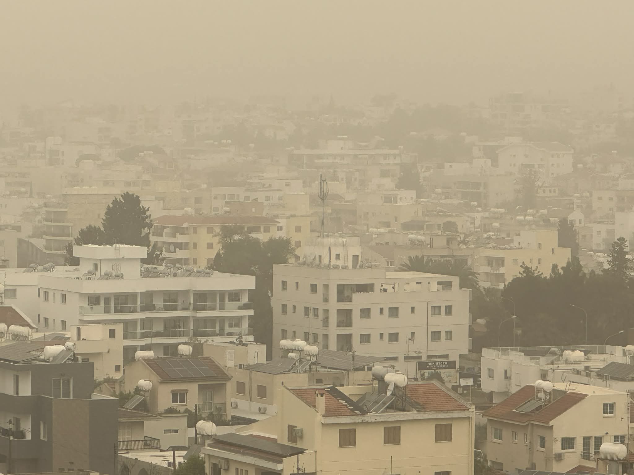
A weak low-pressure system is affecting the area, with dust observed in the atmosphere at intervals. Temperatures are expected to reach around 33°C inland, about 28°C along the southern and eastern coasts, and near 25°C in the remaining coastal areas and higher mountains.
On Tuesday, the weather will be mostly clear, although increased medium and high cloud cover will be present early in the day. Winds will blow mainly from the southeast to southwest, light to moderate at 3 to 4 Beaufort, later becoming locally strong at up to 5 Beaufort.
Tonight, conditions will remain mostly clear. Gradually, locally increased low cloud or light fog is expected to form, mainly across the eastern half of the island. Winds will turn mainly northwesterly, remaining light and at times locally moderate at 3 to 4 Beaufort. The sea will be slight to a little rough. Temperatures will drop to around 14°C inland and along the coasts, and to 12°C in the higher mountainous areas.
Wednesday and Thursday will remain mostly clear, with intervals of increased medium and high cloud. On Friday, cloud cover is expected to increase, with a chance of isolated showers, while winds may become strong to very strong, particularly in coastal areas.
Temperatures are forecast to gradually decline through to Friday, settling close to seasonal averages.


Click here to change your cookie preferences